Skyline Hikers of the Canadian Rockies
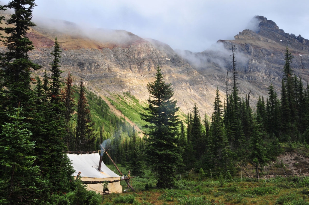
Our 2016 camp was located on the British Columbia side of the continental divide and on the Banff National Park boundary. This was a popular site with our hikers and was last visited in 2009 (see video gallery).
This year’s camp dates were:
- July 11 to 16
- July 18 to 23
- July 25 to 30
- August 1 to 6
- August 8 to 13
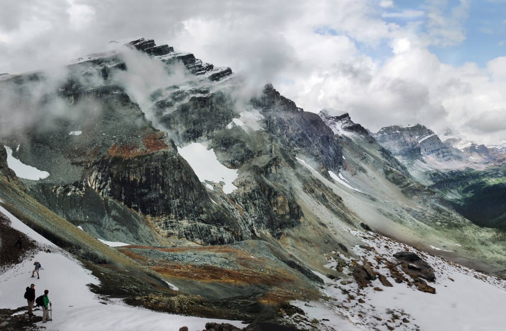
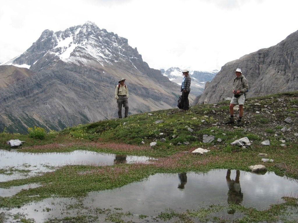
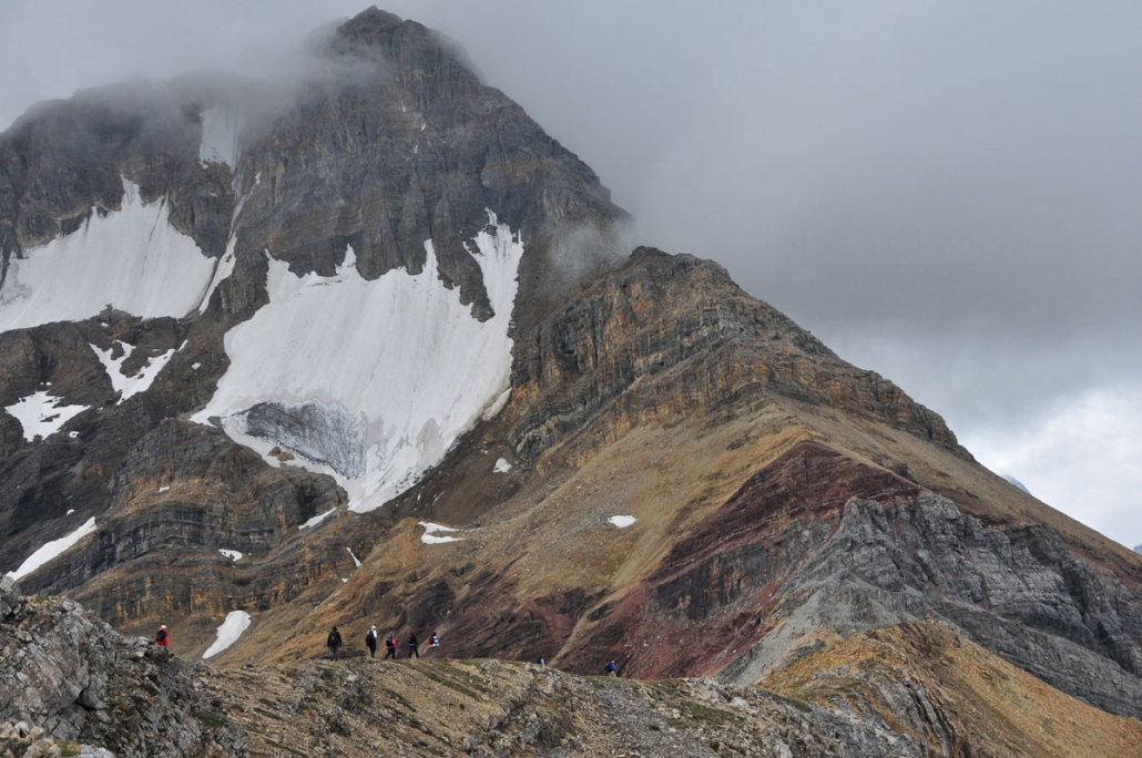
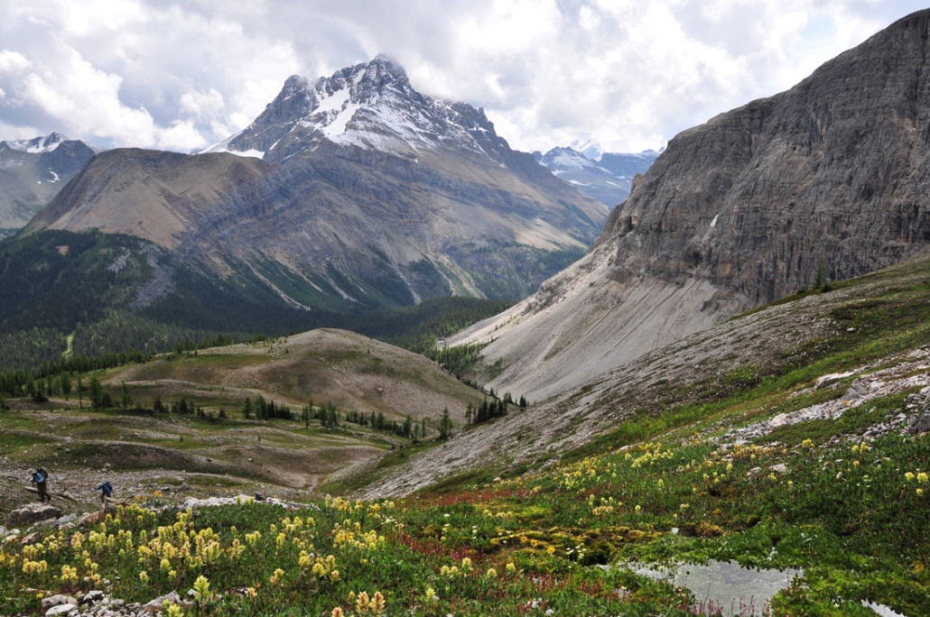
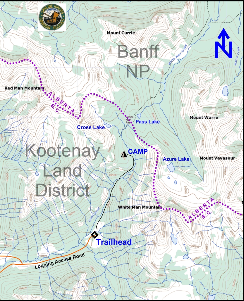
The camp was located inside of Whiteman Pass (as shown below) between White Man Mountain and Red Man Mountain. The camp offered easy access to the trails along the continental divide, such as Redman Shoulder (shown below).
The easy trail into camp starts at the Cross River road and was about 4 km in length, with 2 bridges each approximately 1 km apart and a total elevation gain of 470 meters.
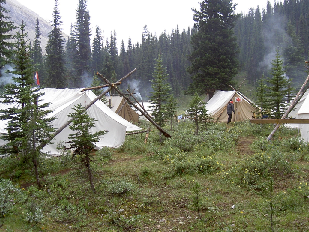
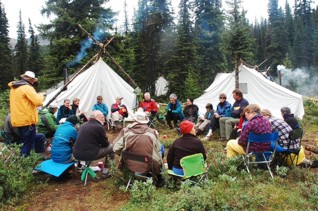
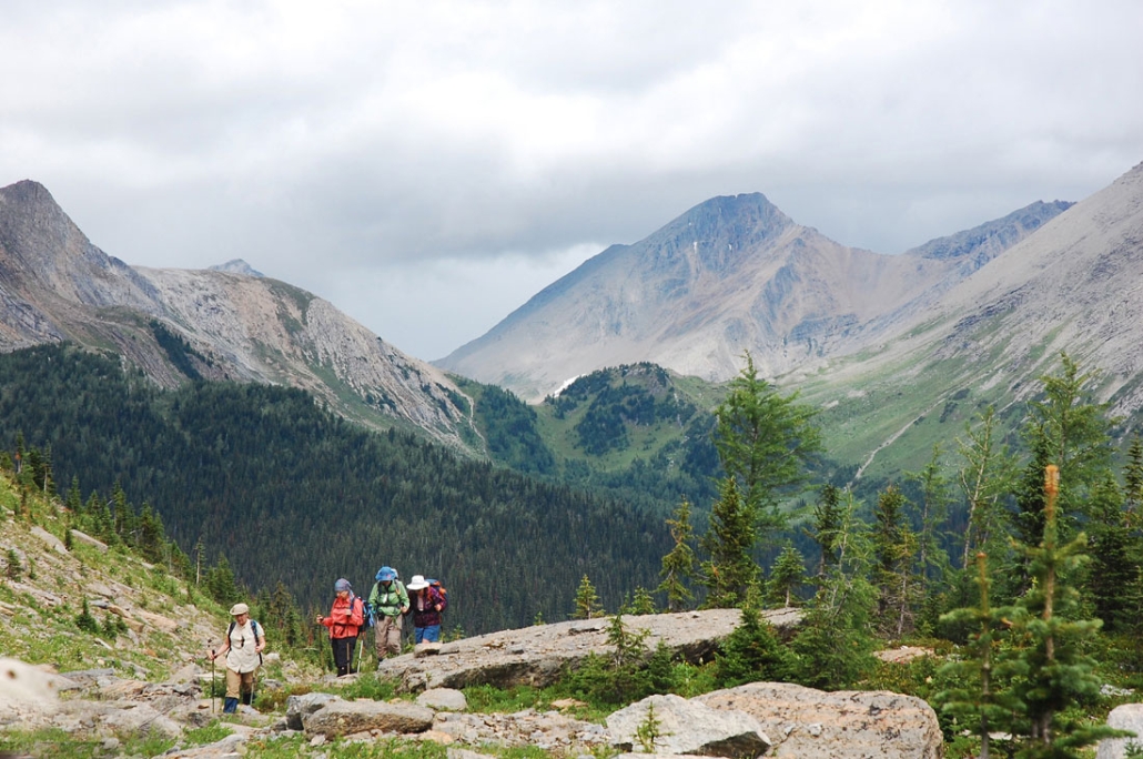
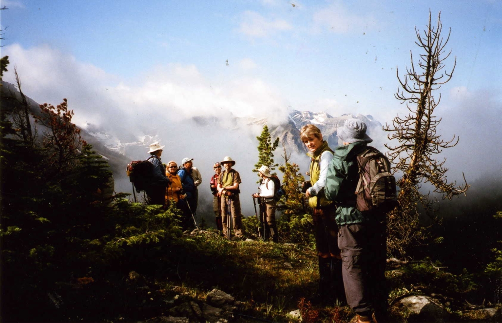
A choice of 5 or 6 hikes was offered each day from camp. Each day hike was led by an experienced volunteer leader. Hikers were prepared to hike over rough trails (many above the tree line) for 5 to 25 km per day with elevation gains of 200 to 1000 meters. Hike times averaged 6 to 7 hours per day including stops.
Camp life provided an interesting contrast to the peacefulness of the trail. Meal times in the dining tent were happy, noisy affairs. The camaraderie continued around the evening campfire where a description of hikes planned for the following day were given. It was also a time for singing, recounting of the day’s events and telling of tall tales.
Maps
Topographical Map References:
- Mount Assiniboine 82 J/13
- Spray Lakes 82 J/l4
- Kananaskis Lakes 82 J/l1
Gem Trek maps:
- First choice: Kananaskis Lakes, Scale 1:50,000
- Second choice: Banff & Mount Assiniboine, Scale 1:100,000
Shown below is a topographical map from the Government of Canada’s GeoGratis service (used under license). Click on the map to see a larger image.
YouTube

Meetup