Skyline Hikers of the Canadian Rockies
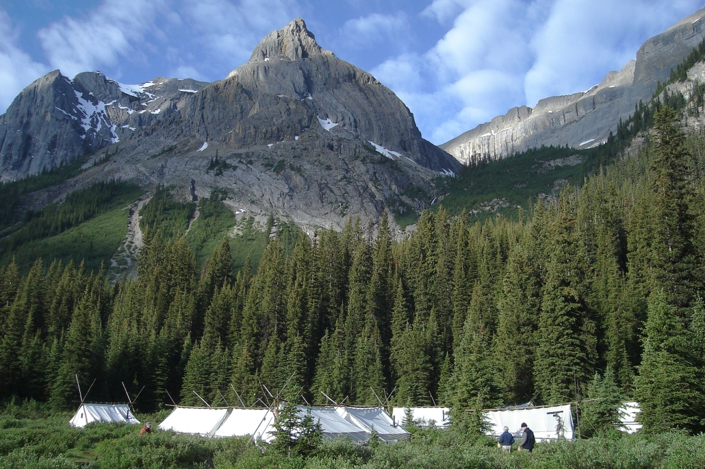
Our 2018 camp was located on Bryant Creek in Banff National Park within easy hiking distance to Mount Assiniboine. This is an iconic site for our hikers and was last visited in 2008 (see video gallery).
This year’s camp dates were:
- July 16 to 21
- July 23 to 28
- July 30 to August 4
- August 6 to 11
- August 13 to 18
The camp was located on Bryant Creek and is within easy hiking distance of Mount Assiniboine.
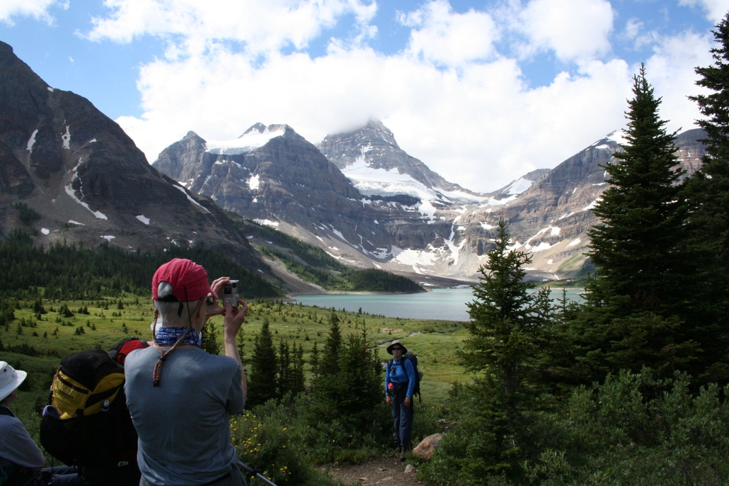
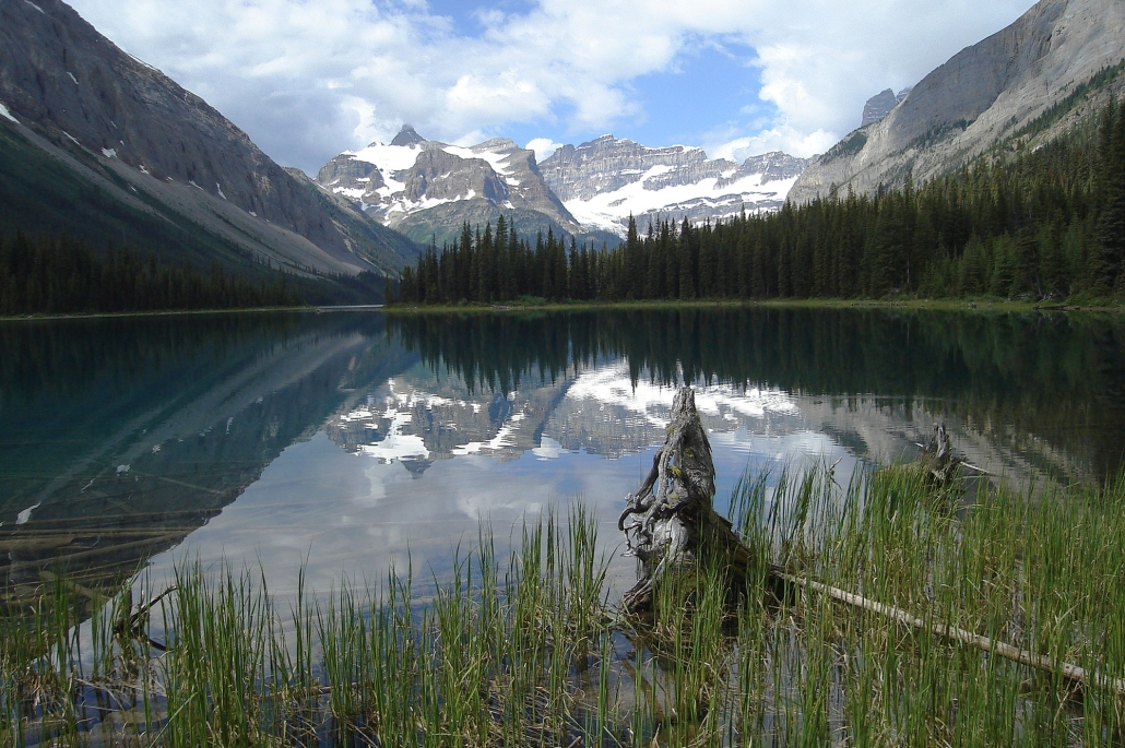
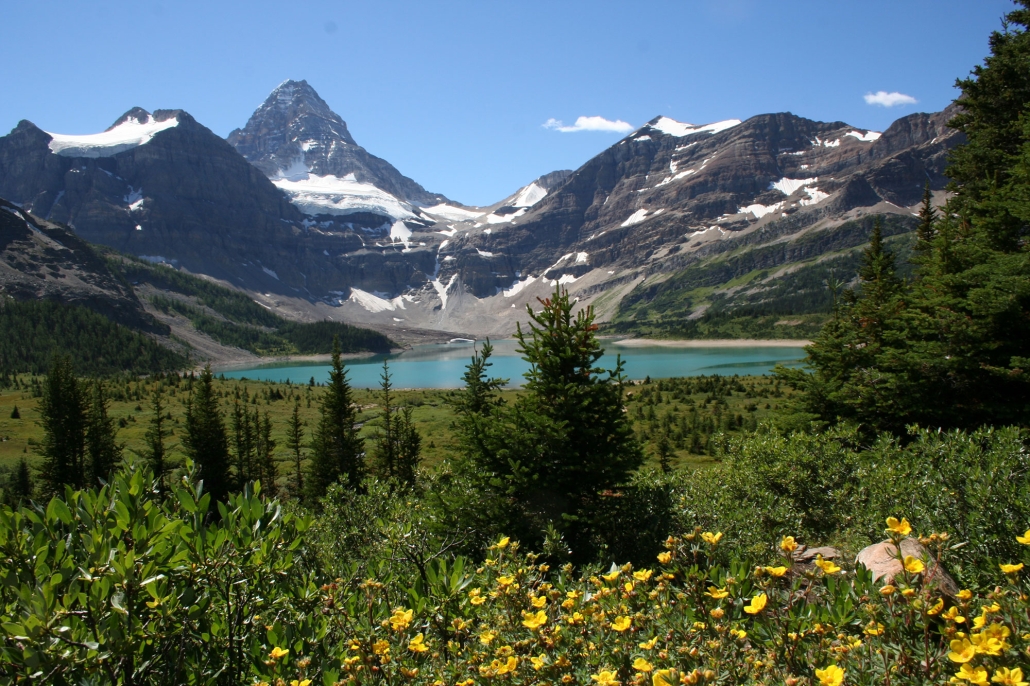
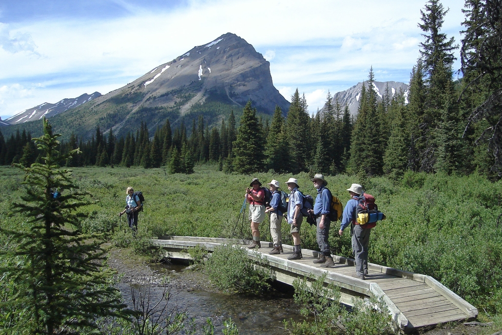
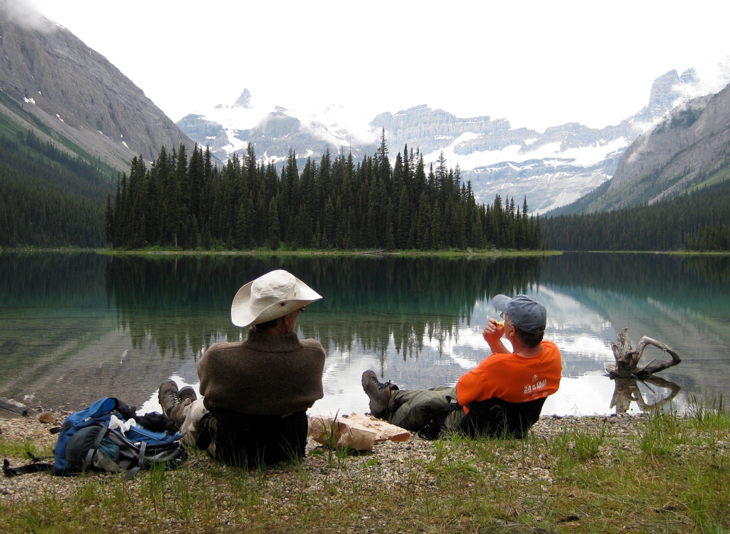
The hike into camp started at the Mt. Shark parking lot and followed the trails into Banff National Park. Although long at 17 km, it was an easy trail to hike. Throughout the week, there were many areas to explore including Magog Lake at Mount Assiniboine, Marvel Lake, Wonder Pass, Og Lake, Allenby Pass, and much more. The photos below are scenes from our visit in 2008 by our photo contest participants.
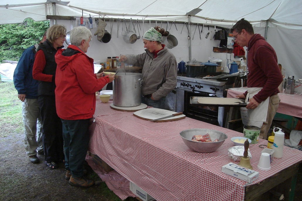
Camp life provided an interesting contrast to the peacefulness of the trail. Meal times in the dining tent were happy, noisy affairs. The camaraderie continued around the evening campfire where a description of hikes planned for the following day were given. It was also a time for singing, recounting of the day’s events and telling of tall tales.
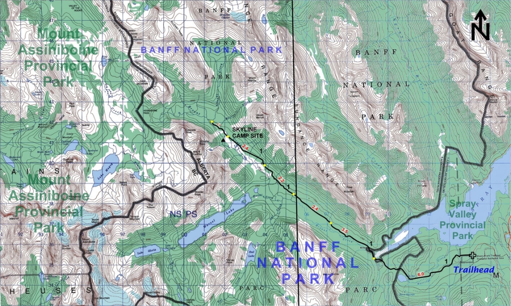
Maps
Gem Trek map reference:
- Banff and Mount Assiniboine, Scale 1:100,000
Topographical map reference
- 82J13 – Mt. Assiniboine
Shown below is a topographical map from the Government of Canada’s GeoGratis service (used under license). Click on the map to see a larger image.
YouTube

Meetup