Skyline Hikers of the Canadian Rockies
For 2021, we hiked in Strathcona Park on northern Vancouver Island in British Columbia.Our base of operations was Strathcona Park Lodge (see details below). This was a departure from our normal backcountry camping necessitated by the uncertainty of the ongoing virus situation and our policy of keeping hikers safe while providing an outstanding hiking experience. We plan to return to the backcountry in 2022 with a camp at Whiteman Pass.
We saw our friends again and the hiking was be outstanding (see lots of photos below).
The “camp” dates were (Monday to Friday):
- July 12 to 16
- July 19 to 23
- July 26 to 30
- August 2 to 6
- August 9 to 13
- August 16 to 20
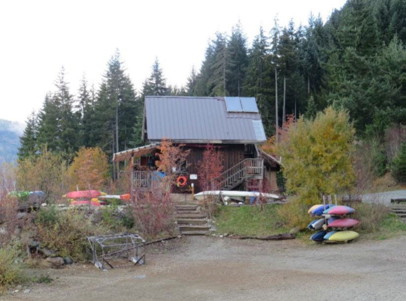
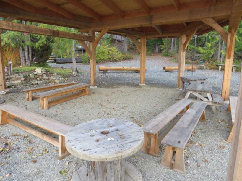
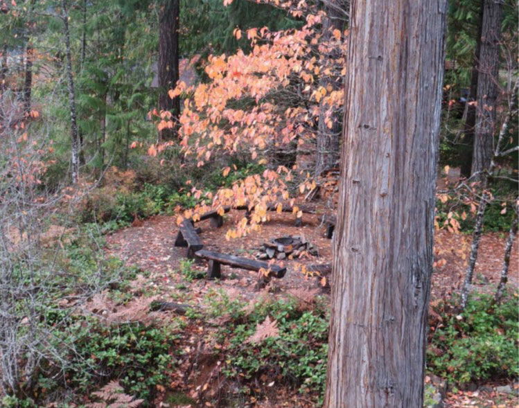
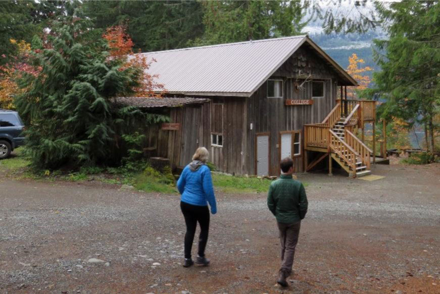
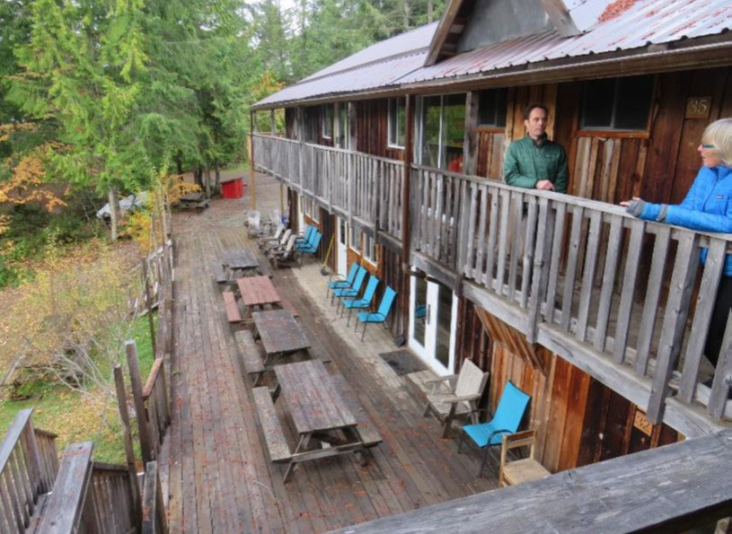
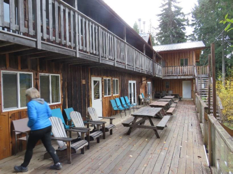
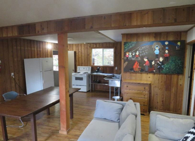
We stayed at Strathcona Park Lodge:
- The lodge has 60 years of experience, including a renowned wilderness school
- Catered dining with a variety of great food
- Individual rooms (shared or otherwise) with open and covered outside sitting area
- BEDS! SHOWERS (in each room)!
- A large covered enclosure for Skyline use for “Donut” and a large double room for communal gathering (at 2m distance of course)
- Drying facilities
- Canoe and kayak rentals
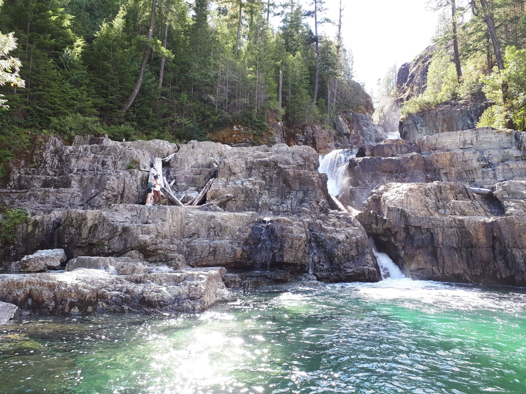
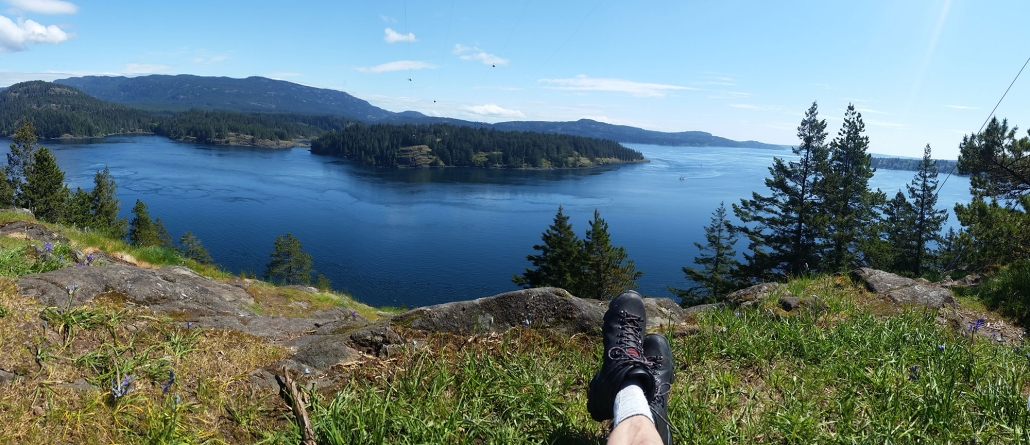
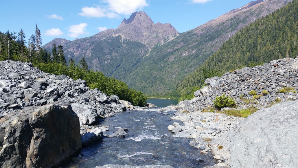
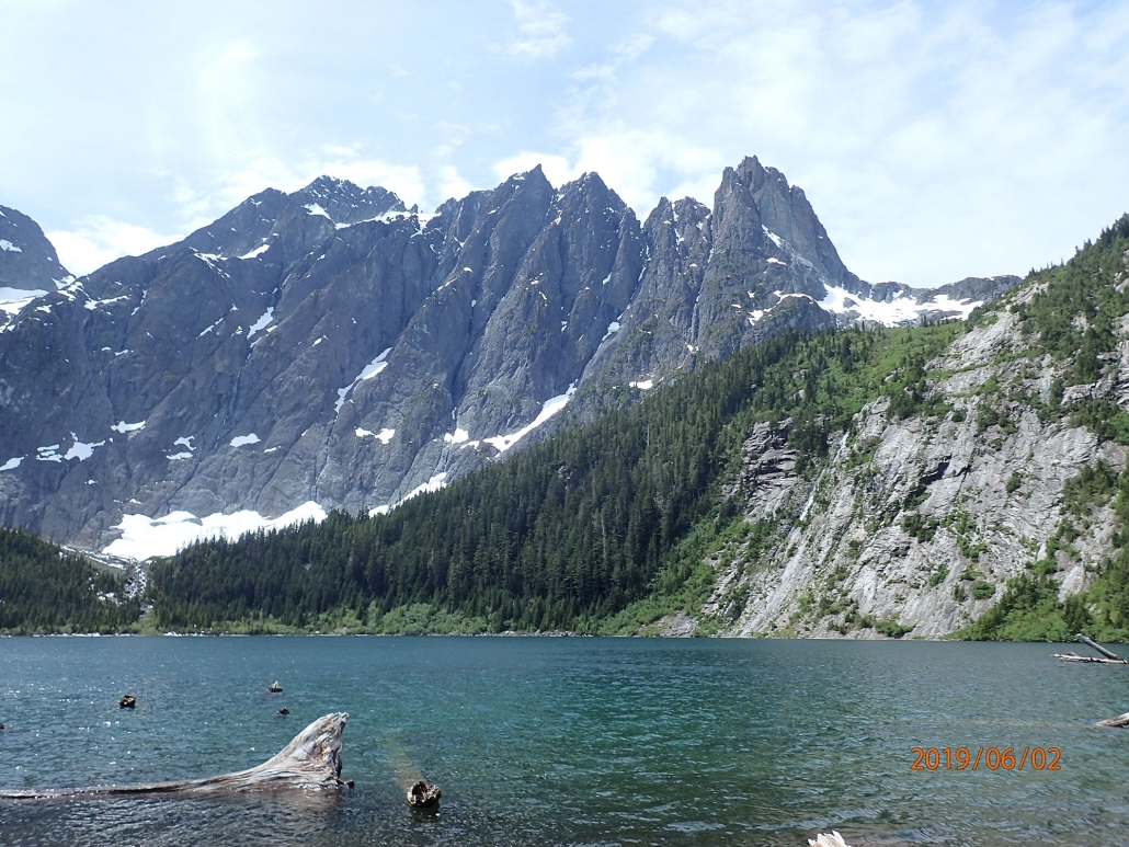
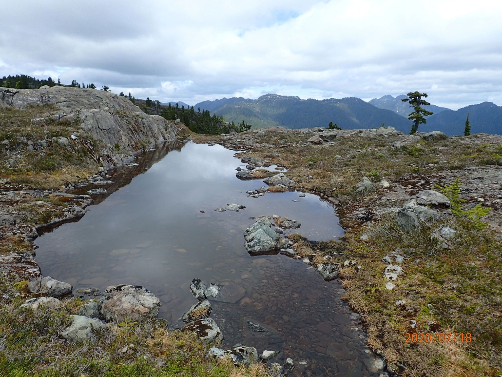
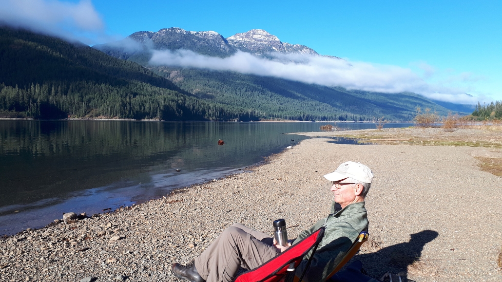
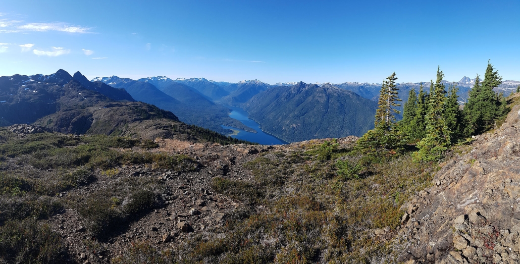
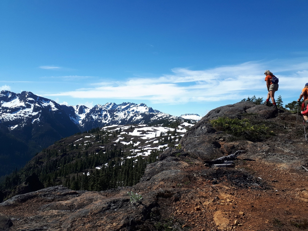
The hikes in the area were amazing. Photos below are courtesy of Anna and Dave Osmond.
- Old growth forest where trees are huge, moss is deep, and forest is varied
- Stunning scenery from alpine meadows, to waterfalls to lakes to …
- Lots of medium to strenuous hikes, like Bedwall Lake, Flower Ridge, Arnica Lake, Crest Mountain
- Variety of easy to moderate hikes to spectacular locations like Landslide Lake, Upper/Lower Myra Falls
- Crazy caves with marble and limestone in shapes one can only dream of
Transportation was provided for all hikes, including the drive to the lodge on Monday (with a hike at Elk Falls) and leaving on Friday (with a hike at Ripple Rock).
Maps and Books
Guidebooks and references for the area:
- Stone, Philip. Exploring Strathcona Park: A Guide to British Columbia’s First Provincial Park. Quathiaski Cove: Wild Isle Publications, 2018
- Parker, Gil. Hiking Trails 3: Northern Vancouver Island. Vancouver Island Trails Information Society, 2008
- Dombrowski,Theo. Vancouver Island: Popular Day Hikes 4. Rocky Mountain Books Ltd. 2014
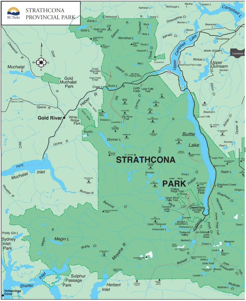
Shown below is the provincial park map for Strathcona Park. Click on the map to see a larger image. The lodge is marked (it’s in the upper right quadrant on the shores of Upper Campbell Lake).
History of Strathcona Provincial Park (Courtesy: bcparks.ca/explore/parkpgs/strath/)
Strathcona Provincial Park, designated in 1911, is the oldest provincial park in British Columbia. Located almost in the centre of Vancouver Island, Strathcona park is a rugged mountain wilderness comprising more than 250,000 hectares. Mountain peaks – some perpetually mantled with snow – dominate the park. Lakes and alpine tarns dot a landscape laced with rivers, creeks and streams. Summer in Strathcona is usually pleasantly warm, while winters are fairly mild except for the higher levels, where heavy snowfalls are the norm. From November through March, snowfalls can be expected on the mountain slopes and alpine plateaus. Snow remains all year on the mountain peaks and may linger into July even at moderate elevations. Summer evenings, as elsewhere in the coastal regions of B.C., can be cool and rain can be expected at any time of the year. Strathcona Park was named for Donald Alexander Smith, First Baron Strathcona and Mount Royal, a Canadian pioneer and one of the principals in the construction of the Canadian Pacific Railway. On November 7, 1885 Lord Strathcona drove the last iron spike into the twin ribbons of steel that united Canada from the Atlantic to the Pacific at Craigellachie in BC’s Selkirk Mountains.
Buttle Lake, named for Commander John Buttle who explored the area in the 1860s, is the major body of water in the park. It and many other lakes and waterways in the park can provide good fishing in season for Cutthroat, Rainbow and Dolly Varden trout. Della Falls, whose drop of 440 metres over three cascades making it one of the highest waterfalls in Canada, is located in the southern remote section of the park with the trailhead only accessible by boat at the northwest end of Great Central Lake. And the highest point on Vancouver Island, the Golden Hinde (elevation 2,200 metres), stands almost in the centre of Strathcona to the west of Buttle Lake.
Three roadless tracts within Strathcona Provincial Park – Big Den, Central Strathcona and Comox Glacier–have been designated as nature conservancy areas. Each tract contains outstanding examples of scenery and natural history that remain uninfluenced by human activity. The three areas, totalling 122,500 hectares, are dedicated to the preservation of the undisturbed natural environment.
While the high mountain peaks and deep shaded valleys of Strathcona Park are dramatic, it is easy to forget that beneath your feet lays a history stretching back 380 million years. It is a history of violent volcanic eruptions on ancient seafloors and quiet interludes when gardens of sea lilies waved in gentle ocean currents. It is a history of rocks torn and folded by the extraordinary forces that can move continents, and of mountain ranges sculpted by the immensely thick ice sheets, which only vanished a few thousand years ago.
Strathcona-Westmin Provincial Park is a Class B provincial park located at the southern extremity of Buttle Lake. The park was separated out from Strathcona Provincial Park by BC Parks in 1987 so that mining operations could proceed within park boundaries. Strathcona-Westmin is expected to be reabsorbed into Strathcona Provincial Park once mining operations cease.
Myra Falls Operation is an underground mine located within a large stratiform basin in the centre of Strathcona-Westmin Provincial Park. It is owned by Nyrstar Myra Falls Ltd., a subsidiary of European mining company Nyrstar. Mining operations were first approved by the Ministry of Mines and Petroleum Resources on 6 April 1970. The mine started as two small open pits, but quickly became an underground mine with several expansions made since 1980. The mine produces ore containing copper, lead, zinc, gold, and silver. It has an annual capacity of 1.4 million tonnes of ore. Many of the hikes in the area are located within this Park, and access is through the mine area. This is a unique opportunity to witness the extent of an active mine in BC.
YouTube

Meetup